Back to Evidence & Methods
Method #11
Methodology Framework
Analytical Toolset
Satellite and hydrologic analysis
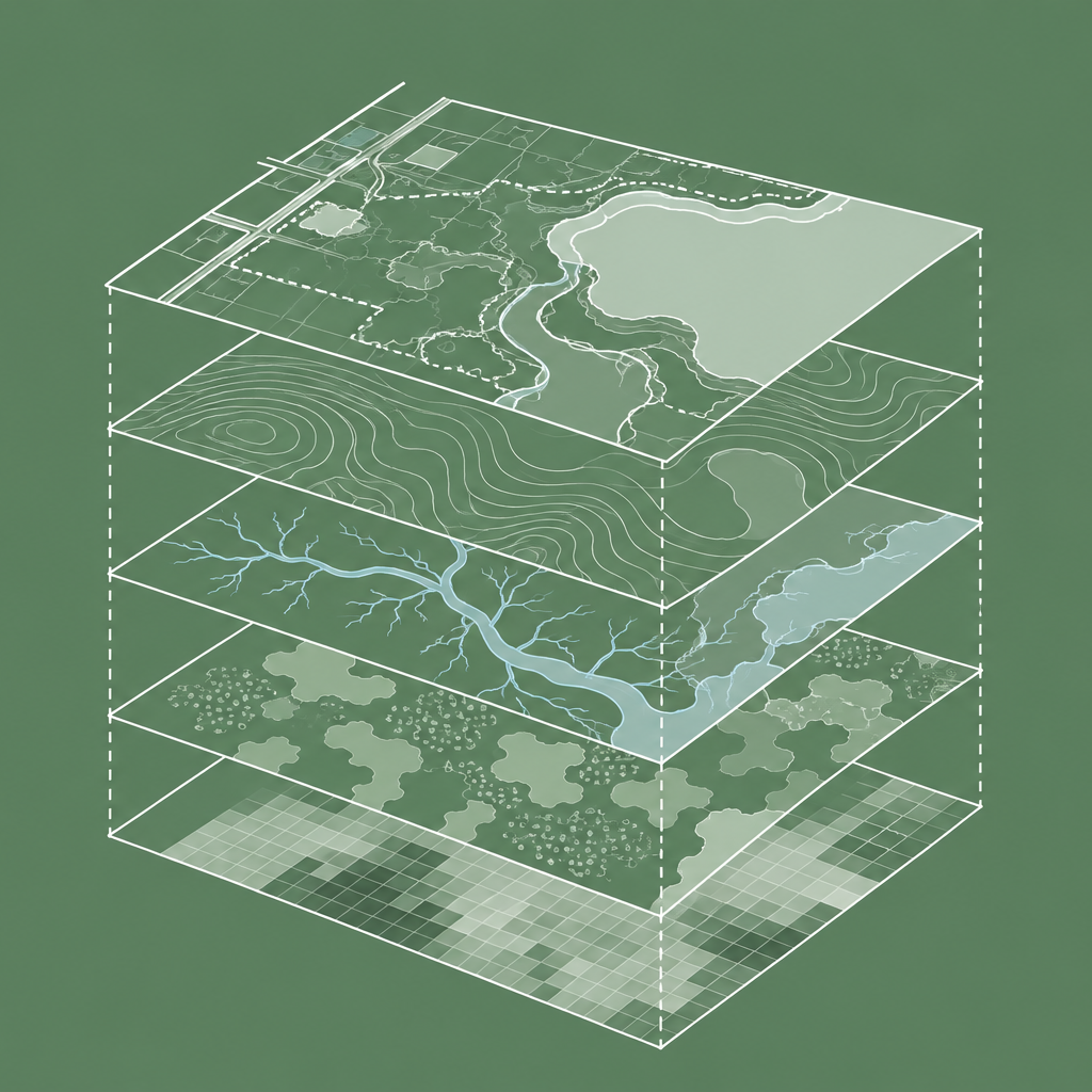
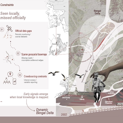
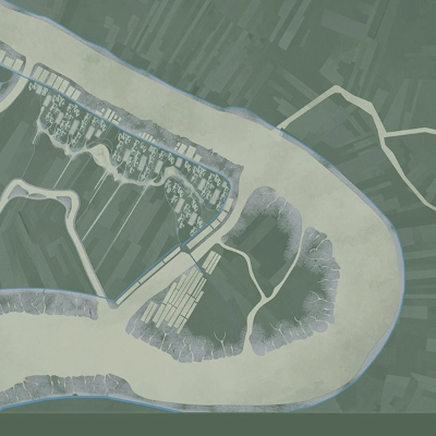
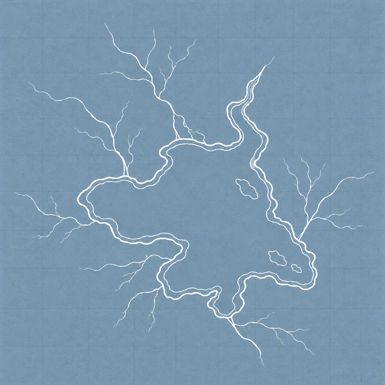
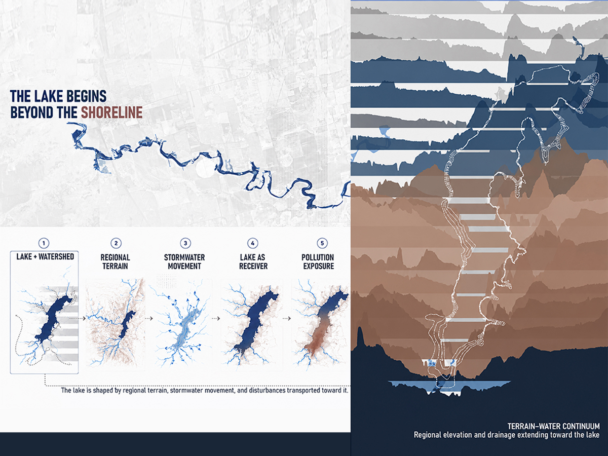
Historical shoreline comparisons, field observations, and catchment mapping are combined to examine drainage, erosion, and deposition. Sentinel-2 imagery is analyzed using the Normalized Difference Turbidity Index and Normalized Difference Chlorophyll Index to examine relative water-condition patterns alongside rainfall timing.
Project connection: Water and Terrain
How I Used This Method
Applied Case Study
Water and Terrain
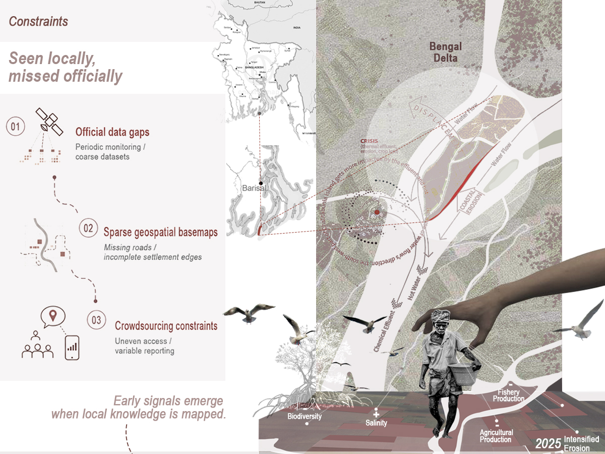
A landscape’s capacity for change is shaped by how water moves through its terrain. Throug...