Back to Evidence & Methods
Method #13

Methodology Framework
Analytical Toolset
Spatial Screening
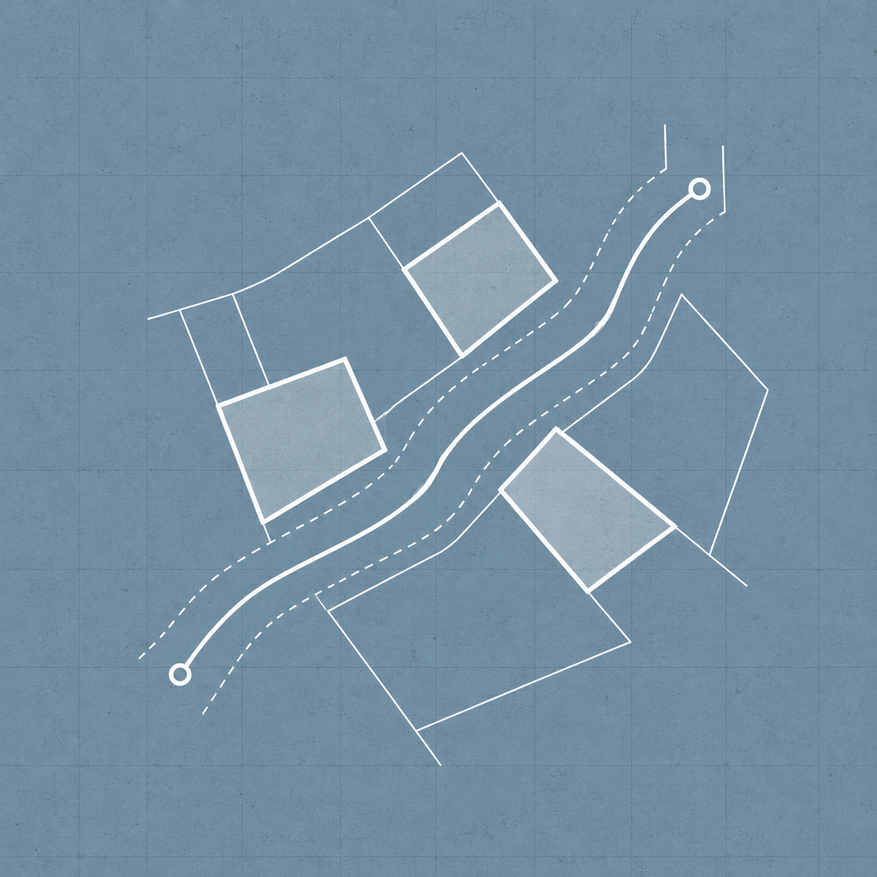
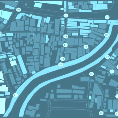
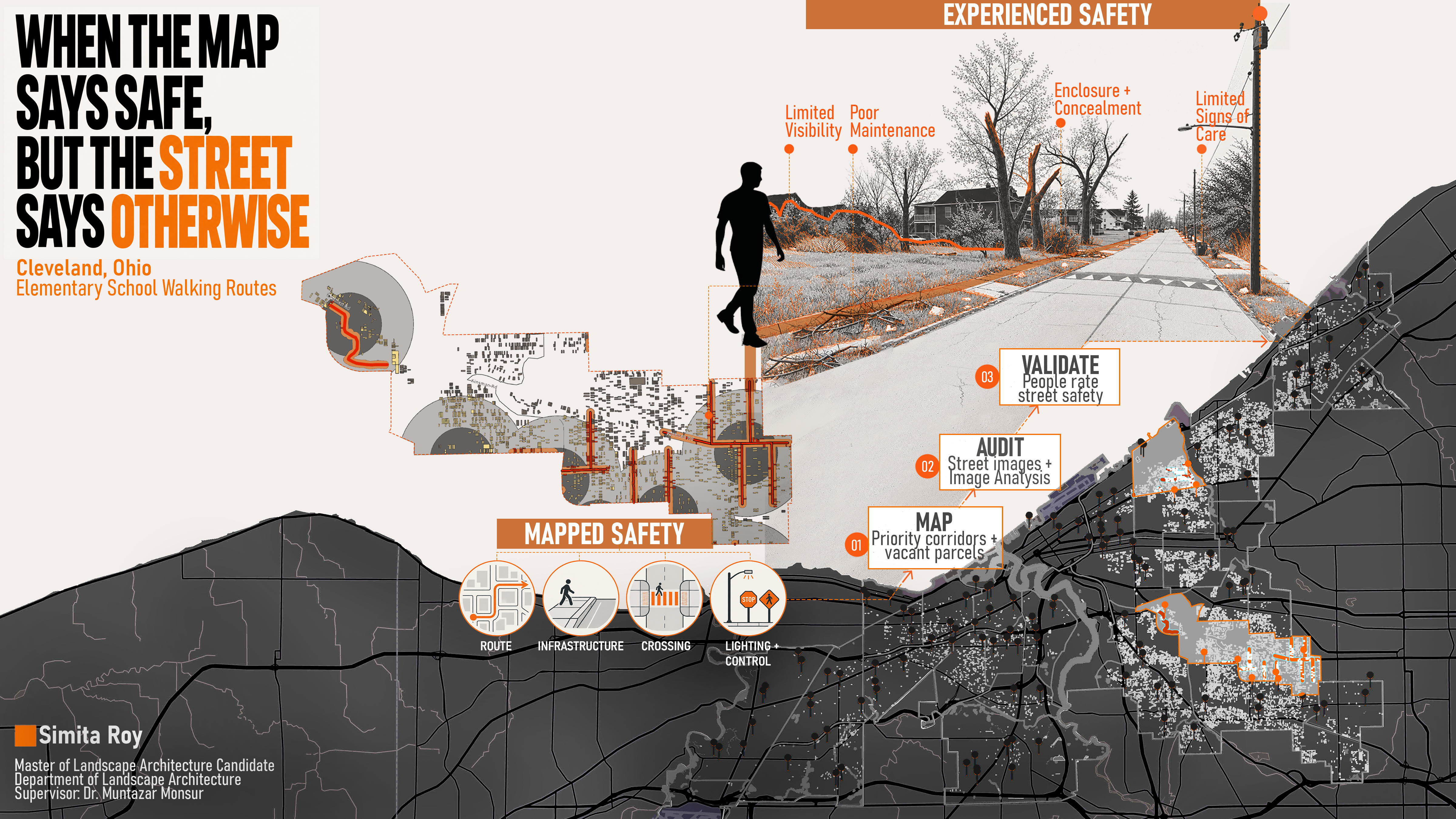
Vacant parcels are selected through geographic information system overlay, neighborhood comparisons, and proximity analysis using 50-meter route buffers and 800-meter school buffers. Vacancy, crime, social vulnerability, and walking-route data are combined to establish the study context.
Project connection: Cleveland vacant-land research
Application Reference