Back to Evidence & Methods
Method #8

Methodology Framework
Analytical Toolset
Street-image analysis
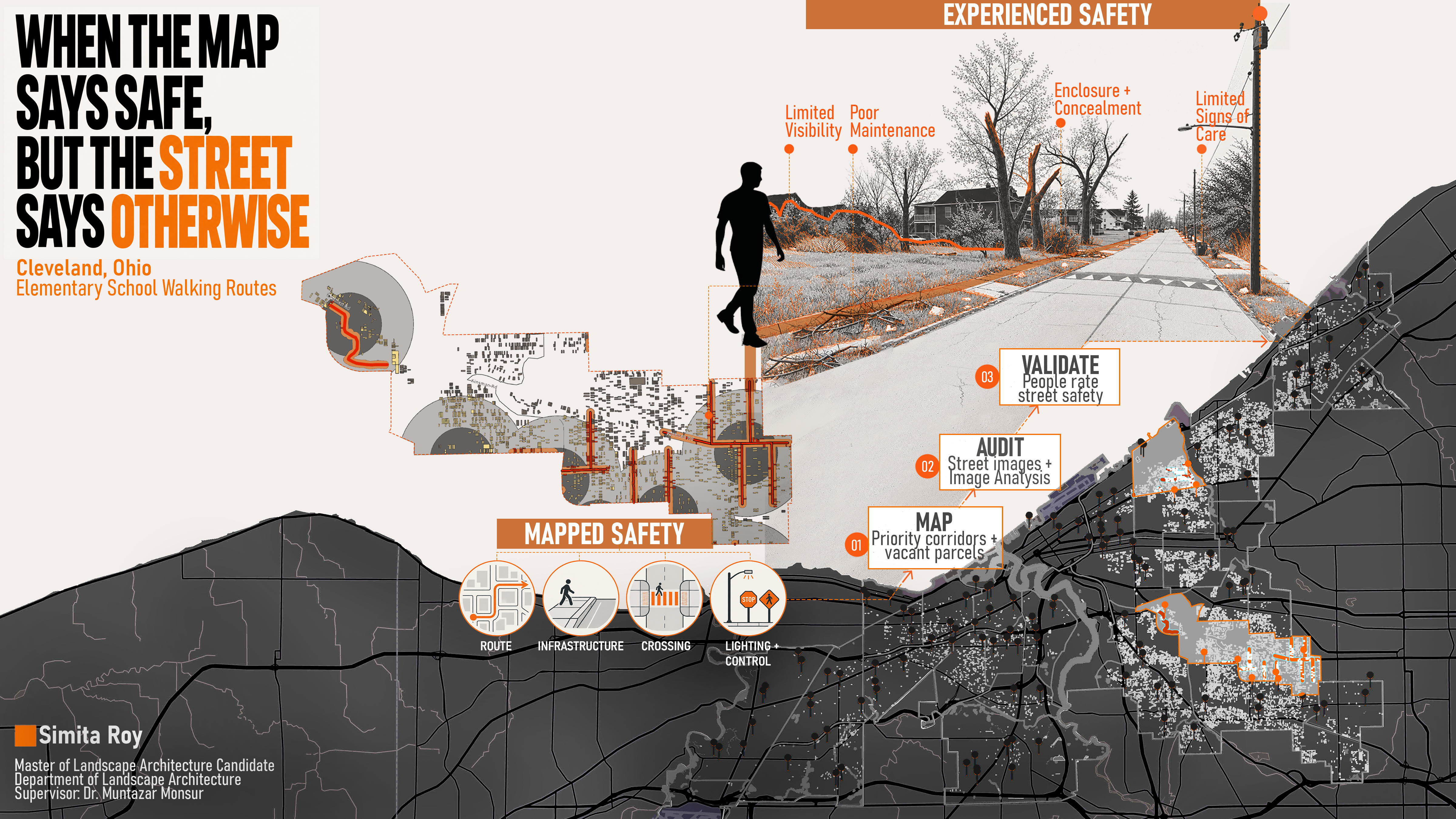
Google Street View images are assessed through SegFormer semantic segmentation to quantify visible greenery. Structured manual coding is used to document maintenance, litter, dumping, vegetation obstruction, and sidewalk conditions.
Project connection: Cleveland vacant-land research
Application Reference