Research
Featured Research
VIEW ALL RESEARCH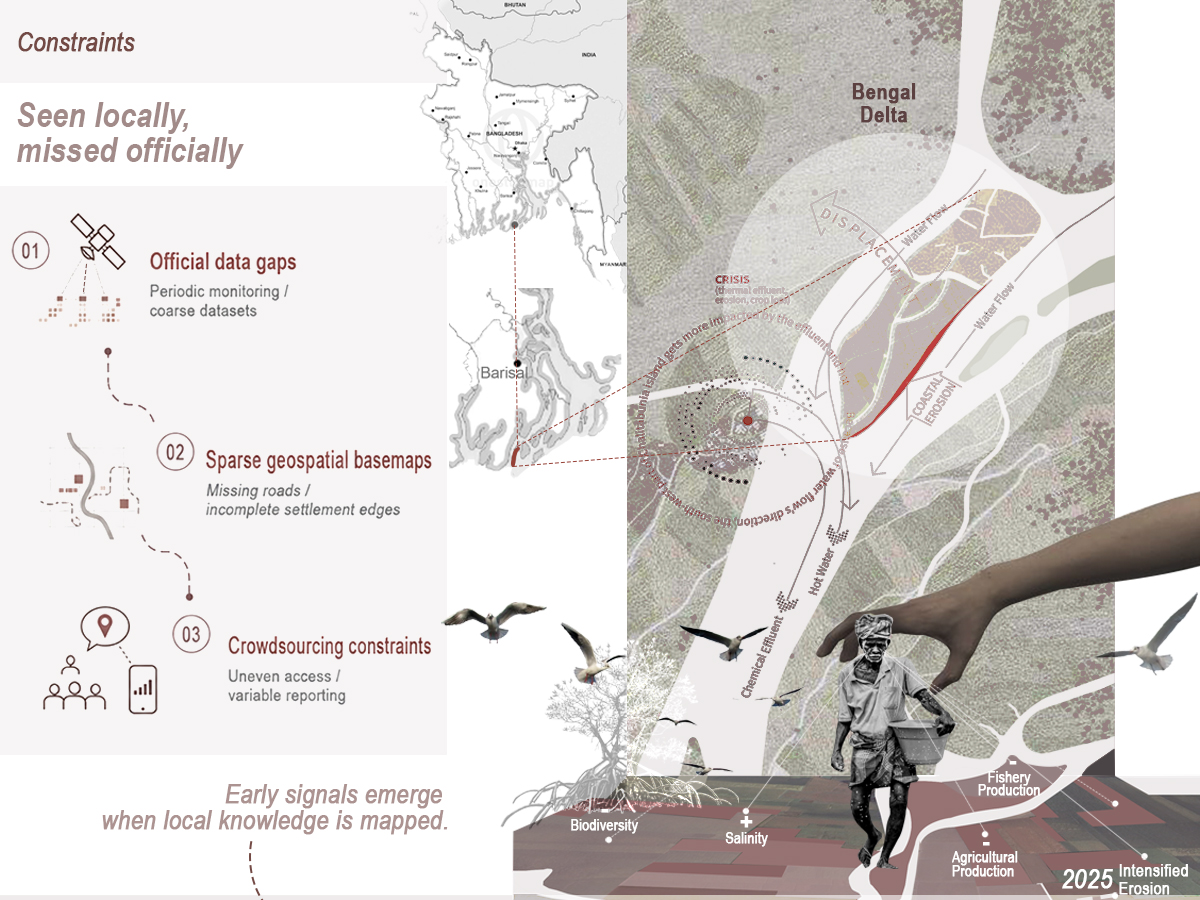
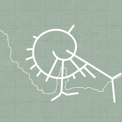
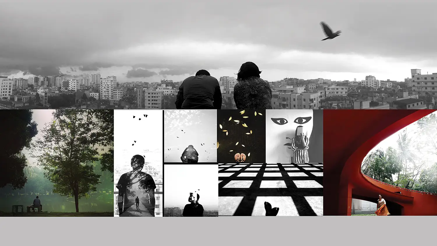
Voice of Delta
Environmental change is often experienced by communities before it is documented in formal datasets. Through Voices of the Delta, ...
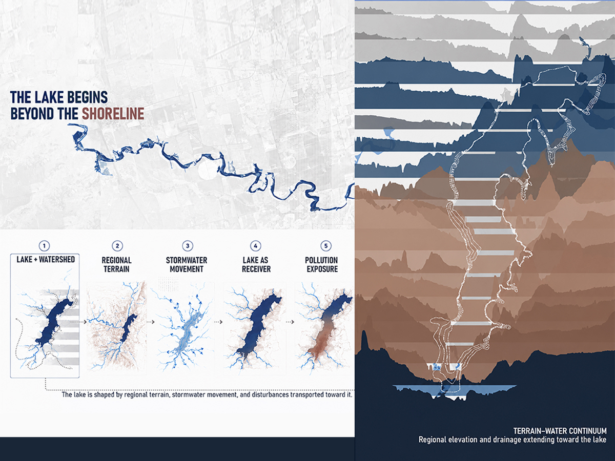
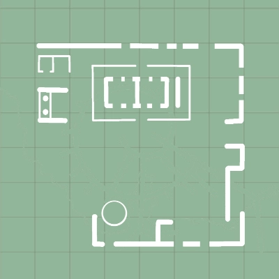
Water and Terrain
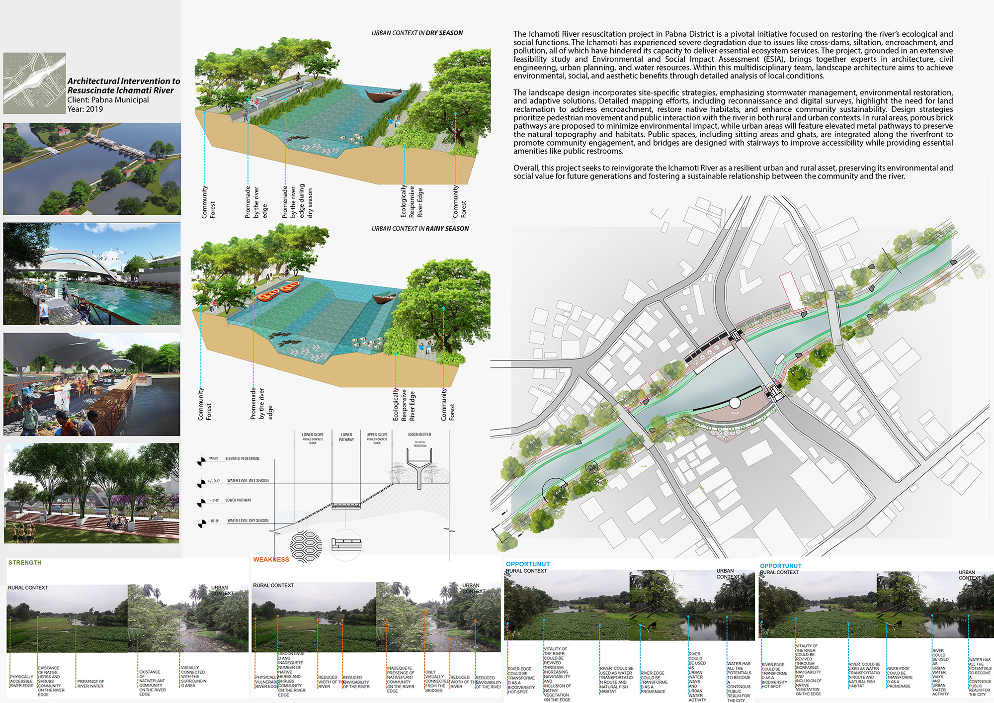
A landscape’s capacity for change is shaped by how water moves through its terrain. Through Water and Terrain, Lake Fort Phantom H...
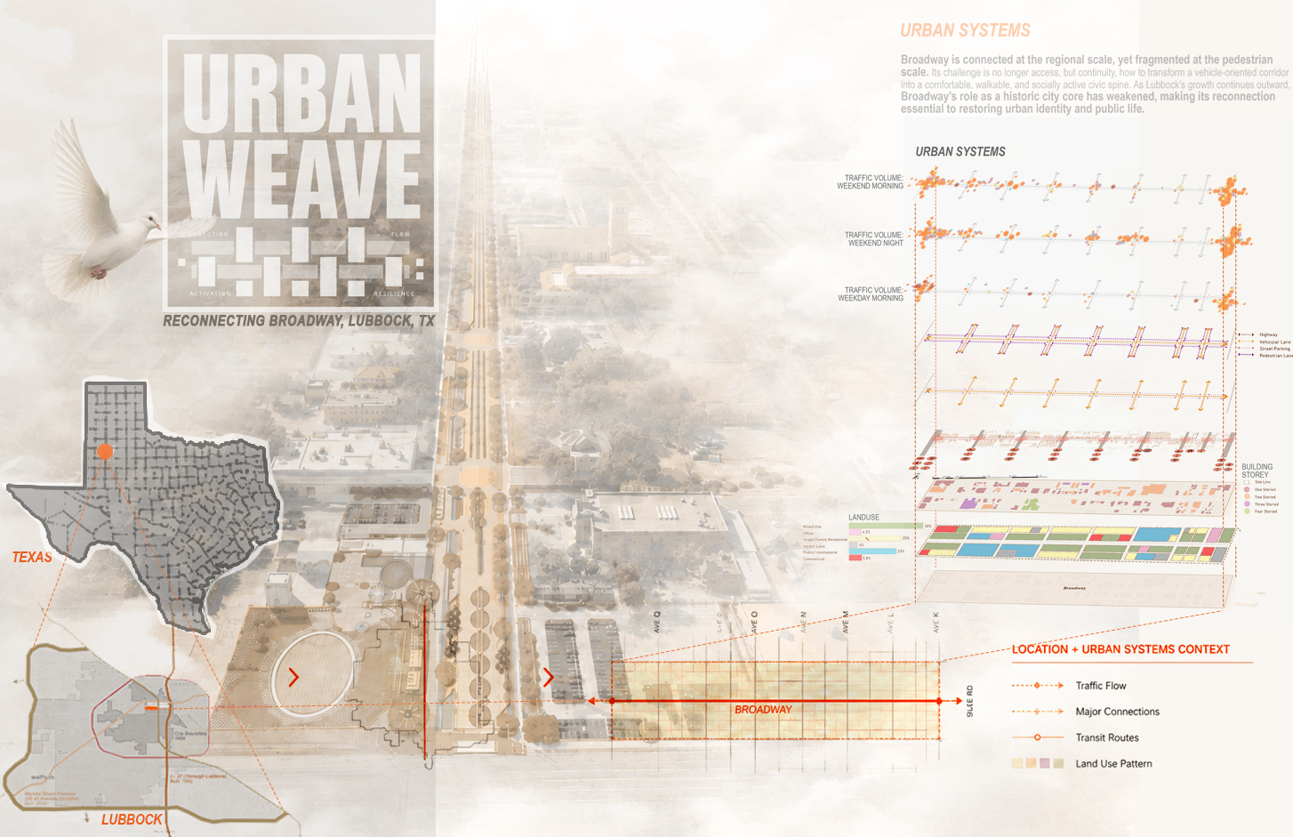
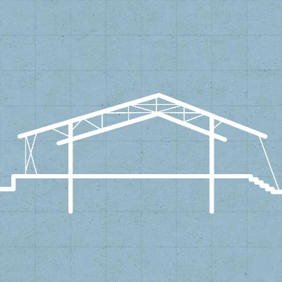
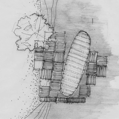
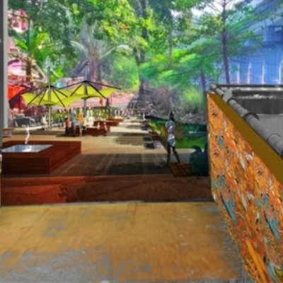
Urban Weave
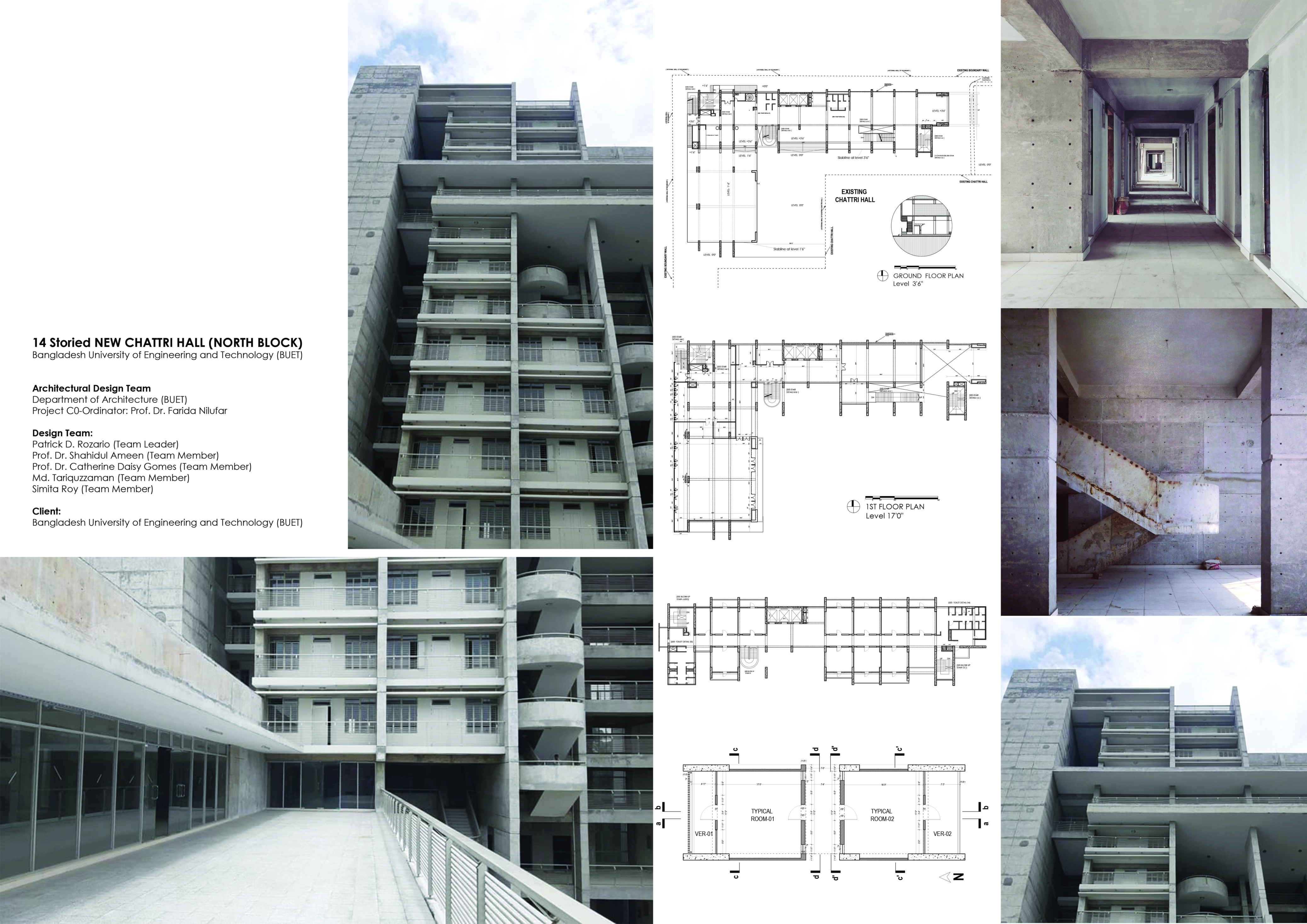
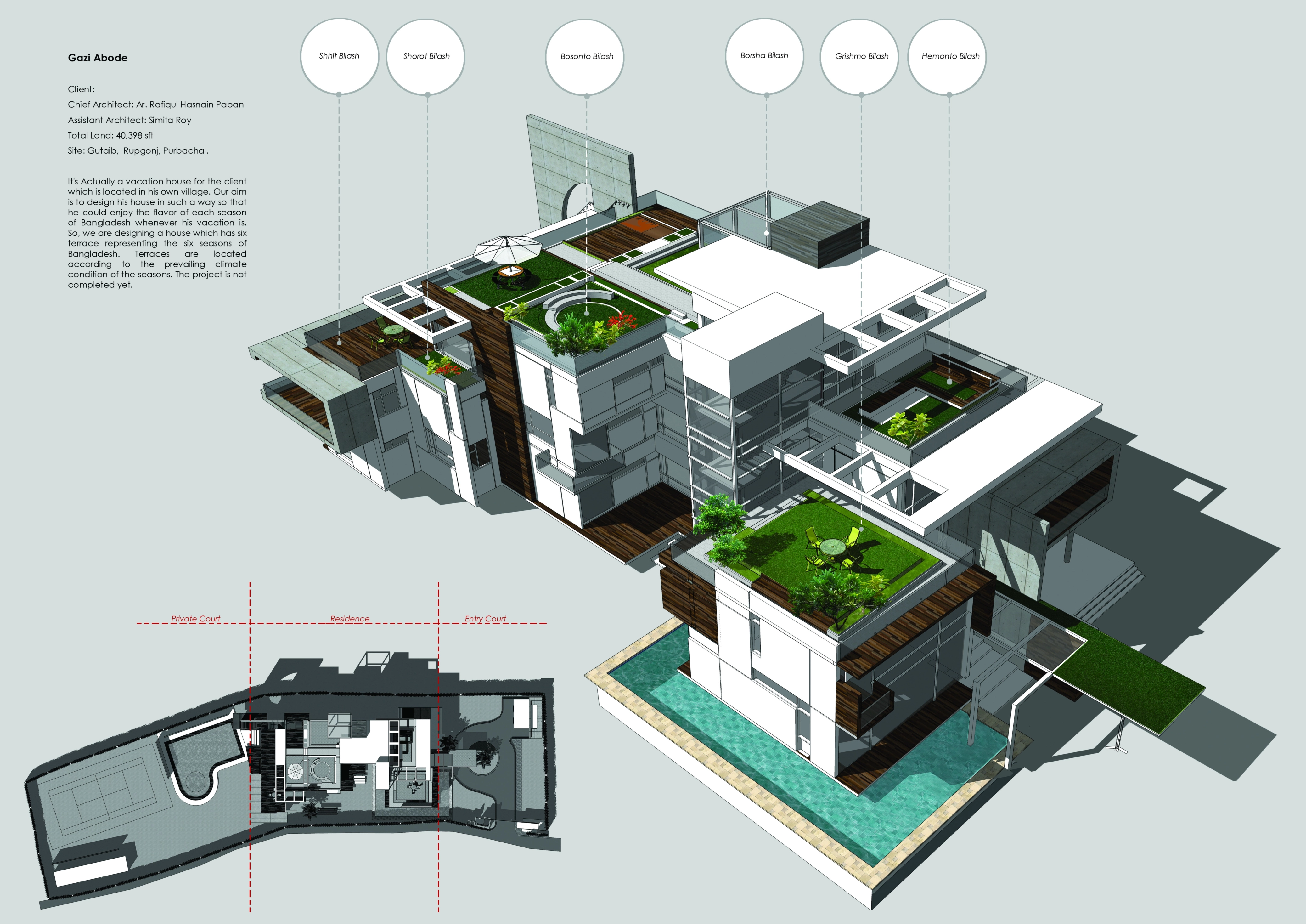
Cities often fail not because they lack buildings or roads, but because they lose the spaces between them. Through Urban Weave, Br...
Methods of Inquiry
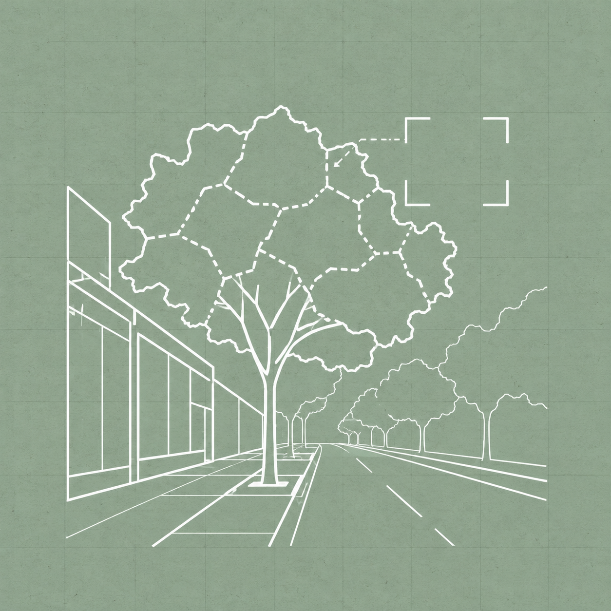
Street-image analysis
Google Street View images are assessed through SegFormer semantic segmentation to quantify visible greenery. Structured manual coding i...
See how I used this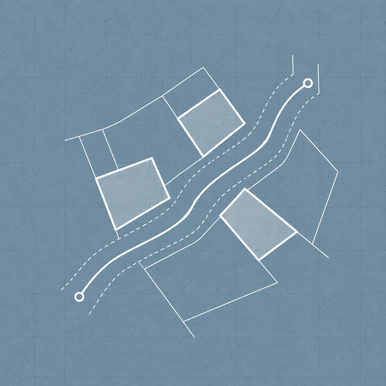
Community observation and mapping
Household observations are gathered through community representatives and assisted reporting. Reported changes in water, soil, crops, a...
See how I used this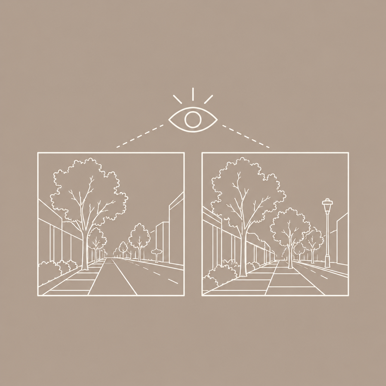
Image-Based Perception Assessment
Planned surveys compare perceived safety in original street scenes and digitally edited scenes containing one proposed improvement. Par...
See how I used this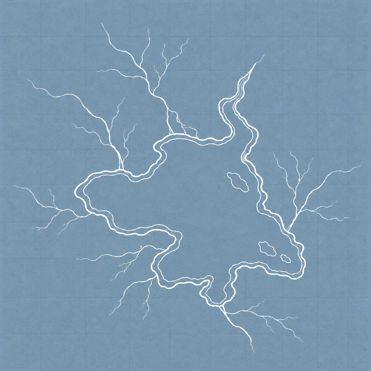
Satellite and hydrologic analysis
Historical shoreline comparisons, field observations, and catchment mapping are combined to examine drainage, erosion, and deposition. ...
See how I used thisPUBLICATIONS
VIEW ALL PUBLICATIONS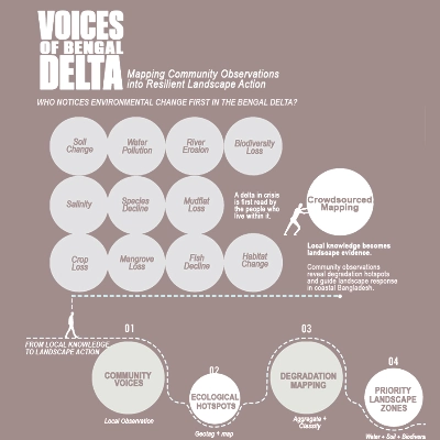
Voices of the Bengal Delta
LIVING CITIES: Ecological Futures Conference
Contribution: Co-authored research and visualization
View publication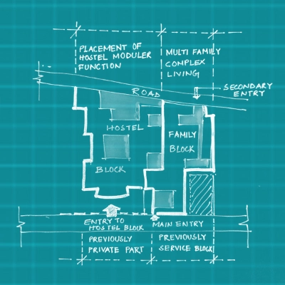
Housing, Community, Observations
Urban Affairs Review
Contribution: Lead author, analysis and design proposals
View publication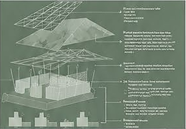
Designing with the Delta
Journal of Landscape Architecture
Contribution: Co-authored, case study and graphic analysis
View publication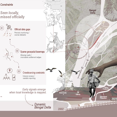
When Water Changes, Crops Respond
Agriculture Water Sustainability Summit
Contribution: Lead author, community-based environmental monitoring
View publicationTalks and Dissemination
VIEW ALL TALKS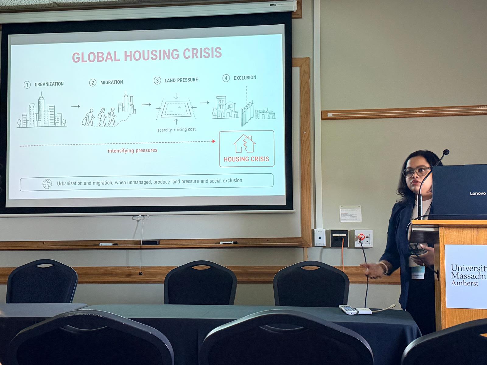
Rethinking Affordable and Inclusive Housing
57th Environmental Design Research Association Conference
View details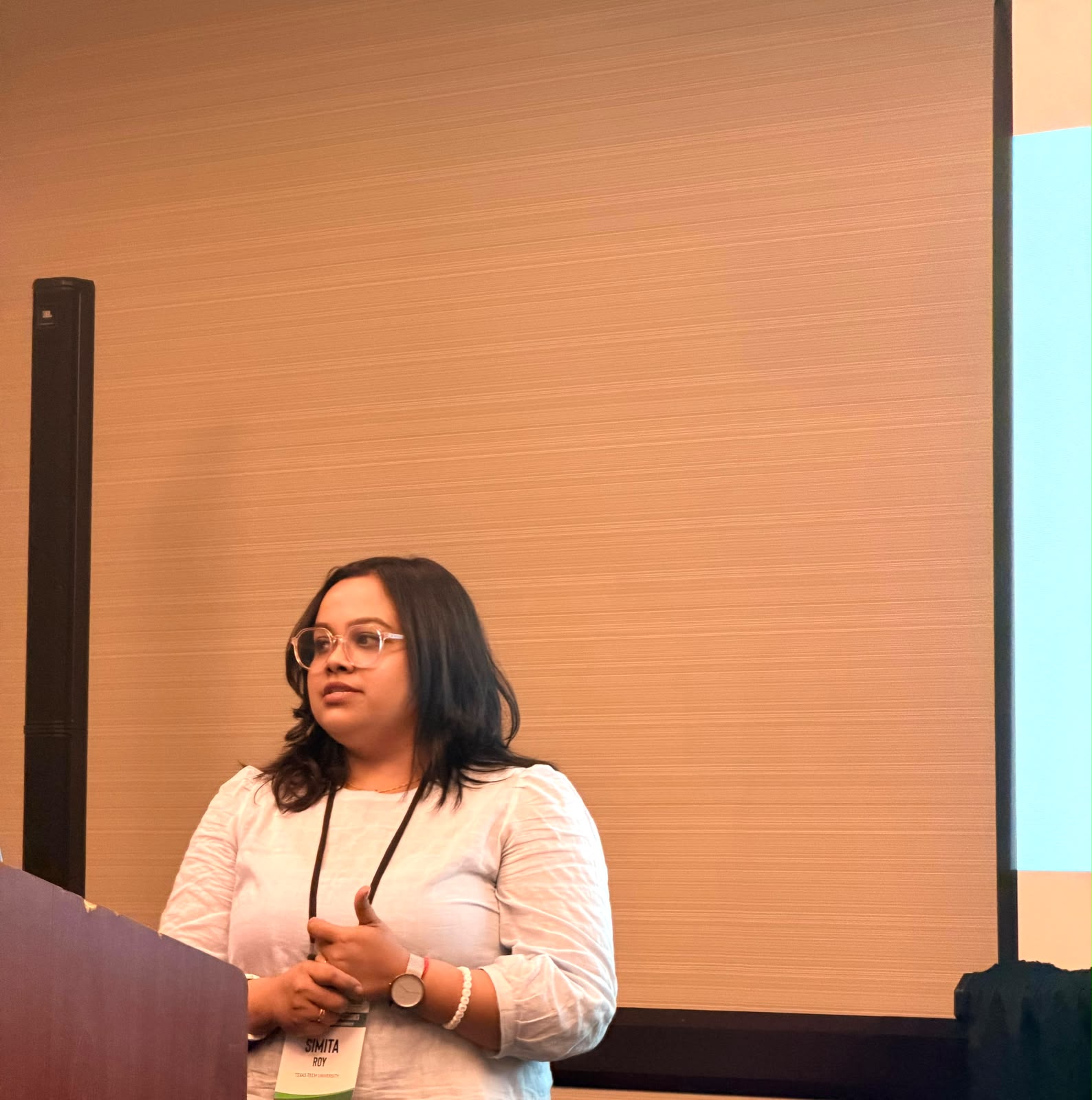
Community-Based Ecological Monitoring through crowdsourcing
Council of Educators in Landscape Architecture Conference
View details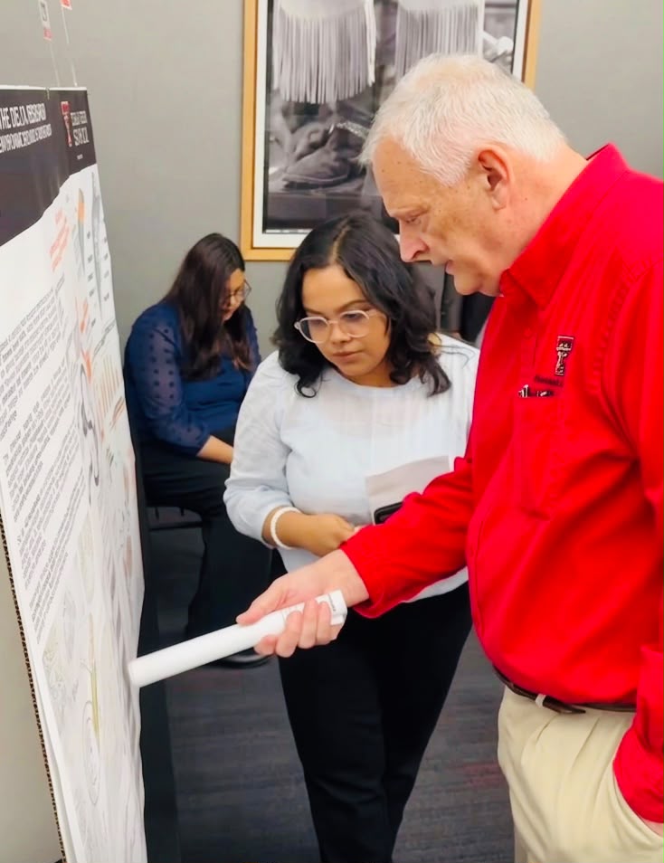
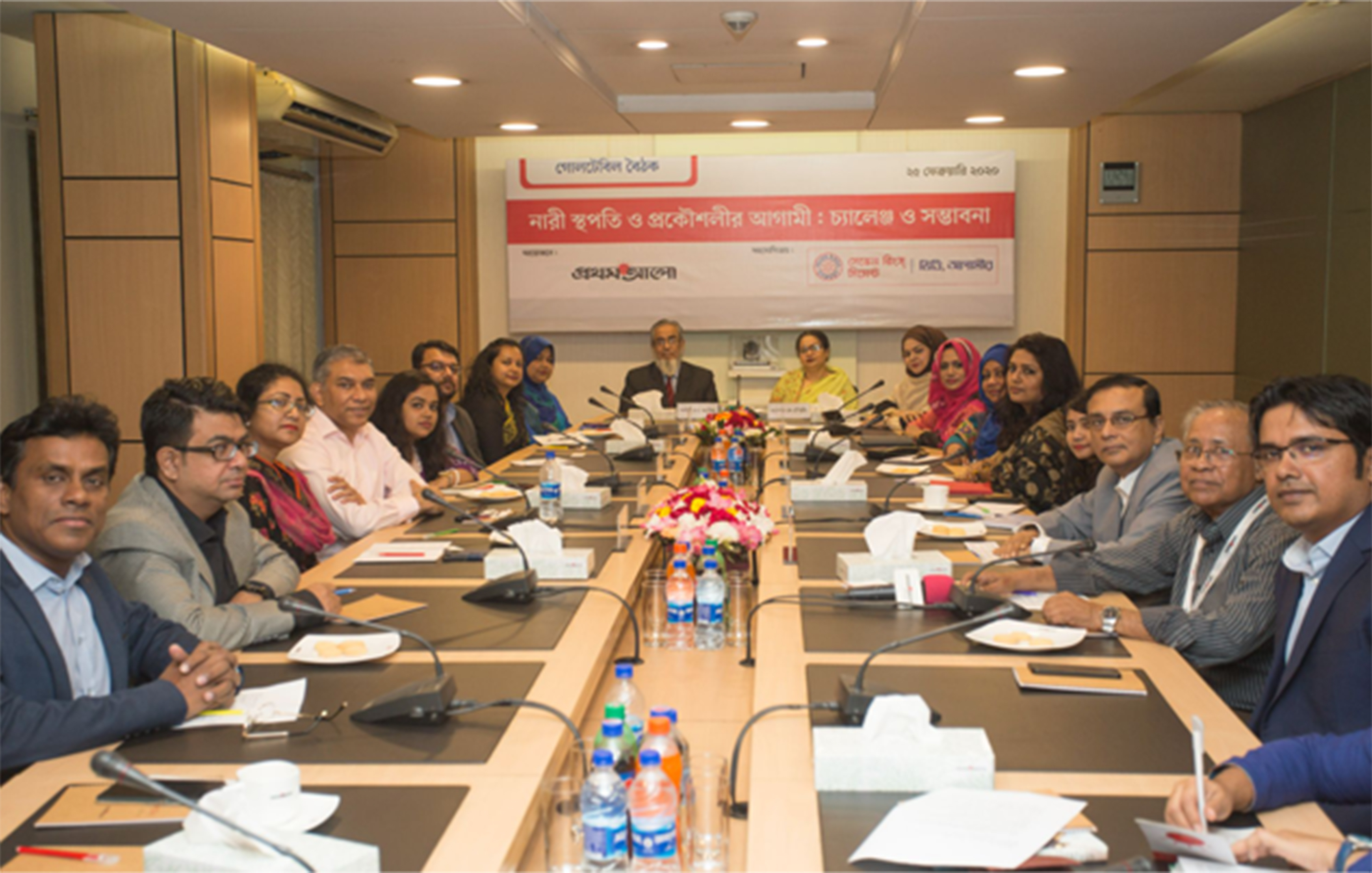
Women in Architecture: Addressing Social Barriers
Prothom Alo Roundtable | February 20, 2020
View details